Difference between revisions of "Statistical Algorithms Importer: Advanced Input"
From Gcube Wiki
(→Spatial Data in SAI) |
(→Spatial Data in SAI) |
||
| Line 28: | Line 28: | ||
| String | | String | ||
| LINESTRING(-16476154.320926309 7161843.802207875,-14617205.79303082 7514065.628545967,-12777825.14437634 6790054.096628778,-12601714.231207293 8081534.126535116,-11271098.442818945 7416226.232340941,-11329802.08054196 6261721.357121639) | | LINESTRING(-16476154.320926309 7161843.802207875,-14617205.79303082 7514065.628545967,-12777825.14437634 6790054.096628778,-12601714.231207293 8081534.126535116,-11271098.442818945 7416226.232340941,-11329802.08054196 6261721.357121639) | ||
| + | | Input | ||
| + | |- | ||
| + | | wktPolygon | ||
| + | | wktPolygon [WKT_POLYGON] | ||
| + | | String | ||
| + | | POLYGON((-15967389.460660174 7377090.473858931,-14264983.966692729 8257645.039704162,-12895232.41982237 7416226.232340941,-13423565.159329507 5811660.134578522,-13932330.019595642 7181411.681448881,-16123932.494588215 6750918.338146768,-15967389.460660174 7377090.473858931)) | ||
| Input | | Input | ||
|} | |} | ||
Revision as of 13:48, 4 October 2016
- This page explains how to use Advanced Input using Statistical Algorithms Importer(SAI) portlet.
Spatial Data
Spatial Data in SAI
- Spatial Data is supported by Well-known text (WKT) that is a text markup language for representing vector geometry objects on a map, spatial reference systems of spatial objects and transformations between spatial reference systems.[1]
- When you define the algorithm's input in SAI you can support WKT input using the appropriate descriptions. This is an example, note that text in square brackets is mandatory:
| Name | Description | Type | Default | I/O |
|---|---|---|---|---|
| wktPoint | wktPoint [WKT_POINT] | String | POINT(-12993071.816027395 7729312.300197024) | Input |
| wktLineString | wktLineString [WKT_LINESTRING] | String | LINESTRING(-16476154.320926309 7161843.802207875,-14617205.79303082 7514065.628545967,-12777825.14437634 6790054.096628778,-12601714.231207293 8081534.126535116,-11271098.442818945 7416226.232340941,-11329802.08054196 6261721.357121639) | Input |
| wktPolygon | wktPolygon [WKT_POLYGON] | String | POLYGON((-15967389.460660174 7377090.473858931,-14264983.966692729 8257645.039704162,-12895232.41982237 7416226.232340941,-13423565.159329507 5811660.134578522,-13932330.019595642 7181411.681448881,-16123932.494588215 6750918.338146768,-15967389.460660174 7377090.473858931)) | Input |
Spatial Data in DataMiner
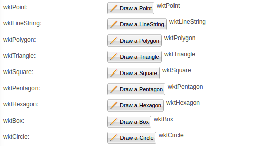
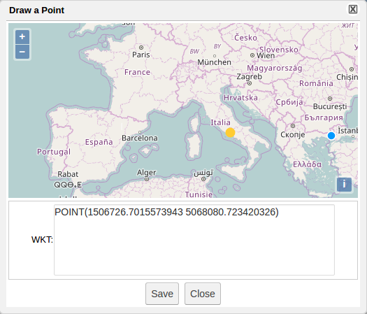
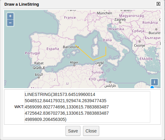
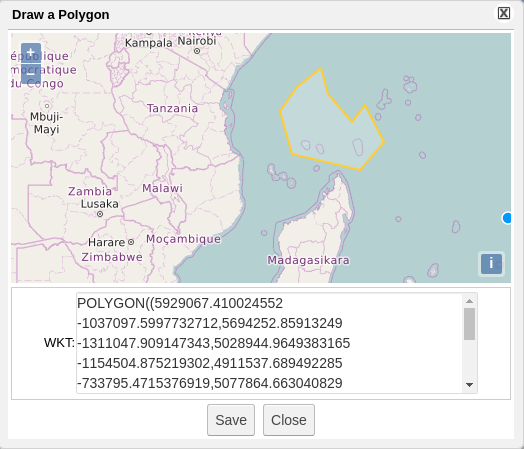
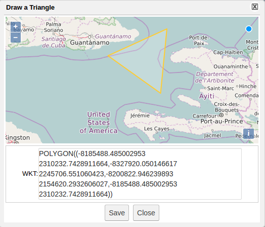
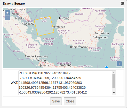
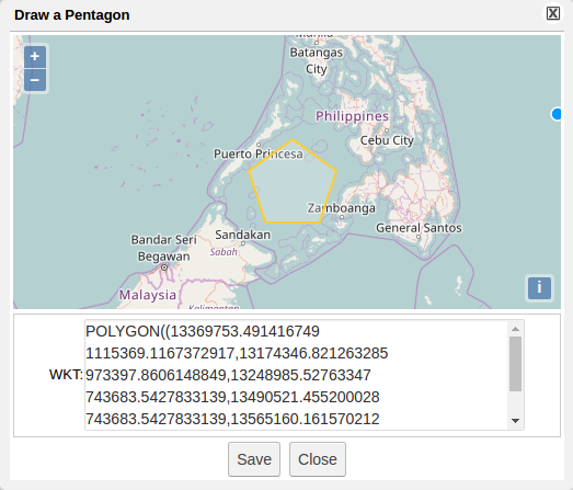
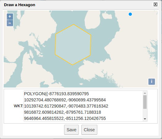
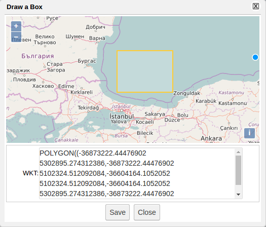
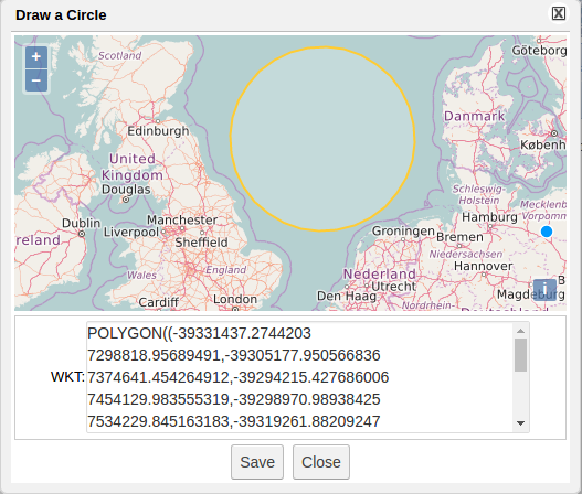
- DataMiner shows Spatial Data by an specific widget which allows easy selection of the interest's area
Temporal Data
Temporal Data in SAI
Temporal Data in DataMiner
- Temporal Data is supported by specific widget
