Difference between revisions of "Statistical Algorithms Importer: Advanced Input"
From Gcube Wiki
(Created page with "{| align="right" ||__TOC__ |} :This page explains how to use Advanced Input using Statistical Algorithms Importer(SAI) portlet. ==WKT Support== :Well-known text (WKT) is a...") |
|||
| Line 5: | Line 5: | ||
:This page explains how to use Advanced Input using Statistical Algorithms Importer(SAI) portlet. | :This page explains how to use Advanced Input using Statistical Algorithms Importer(SAI) portlet. | ||
| − | == | + | ==Spatial Data== |
| − | :Well-known text (WKT) is a text markup language for representing vector geometry objects on a map, spatial reference systems of spatial objects and transformations between spatial reference systems.<ref>[https://en.wikipedia.org/wiki/Well-known_text "Well-known text"], ''[[Wikipedia]]''</ref> | + | :Spatial Data is supported by Well-known text (WKT) that is a text markup language for representing vector geometry objects on a map, spatial reference systems of spatial objects and transformations between spatial reference systems.<ref>[https://en.wikipedia.org/wiki/Well-known_text "Well-known text"], ''[[Wikipedia]]''</ref> |
:SAI can support WKT input using the appropriate descriptions. | :SAI can support WKT input using the appropriate descriptions. | ||
| − | === | + | ===Spatial Data in DataMiner=== |
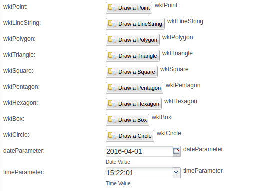
[[Image:DataMinerManager_WKT_Support.png|thumb|center|555px|WKT Support, DataMiner]] | [[Image:DataMinerManager_WKT_Support.png|thumb|center|555px|WKT Support, DataMiner]] | ||
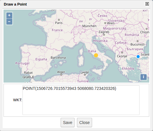
[[Image:DataMinerManager_WKT_Point.png|thumb|center|525px|WKT Point, DataMiner]] | [[Image:DataMinerManager_WKT_Point.png|thumb|center|525px|WKT Point, DataMiner]] | ||
Revision as of 13:05, 4 October 2016
- This page explains how to use Advanced Input using Statistical Algorithms Importer(SAI) portlet.
Spatial Data
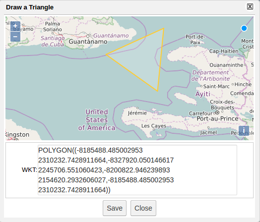
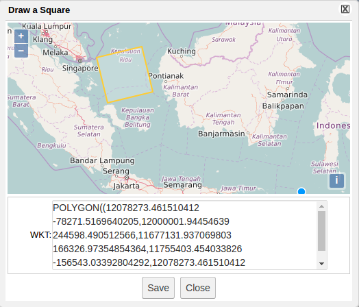
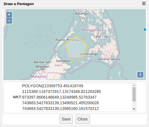
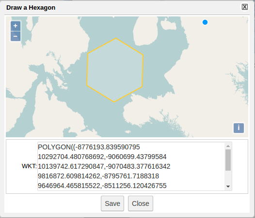
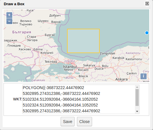
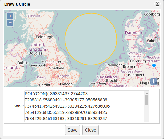
- Spatial Data is supported by Well-known text (WKT) that is a text markup language for representing vector geometry objects on a map, spatial reference systems of spatial objects and transformations between spatial reference systems.[1]
- SAI can support WKT input using the appropriate descriptions.
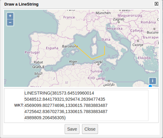
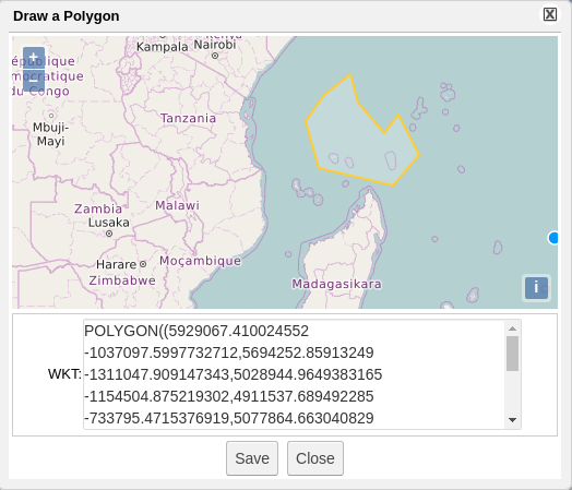
Spatial Data in DataMiner
